Enterprise GIS strategy
Modernization roadmaps, geodatabase design, data re-engineering and migration, and ArcGIS Enterprise environments that scale across departments.
GIS · Digital Infrastructure · Urban Planning
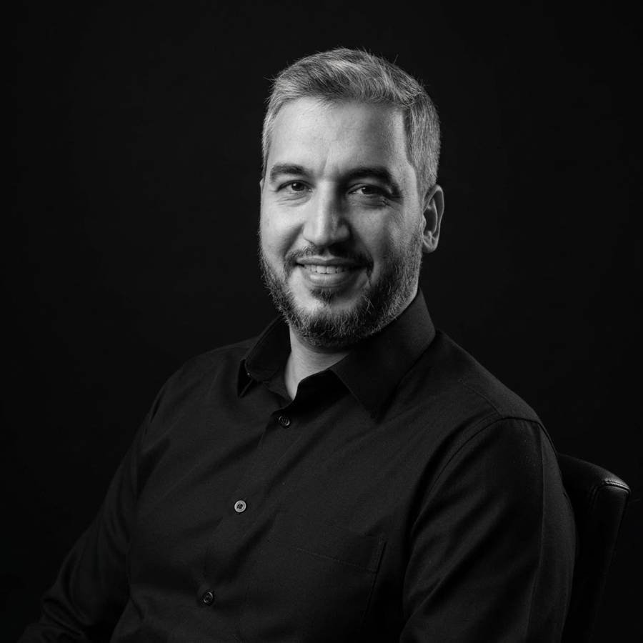
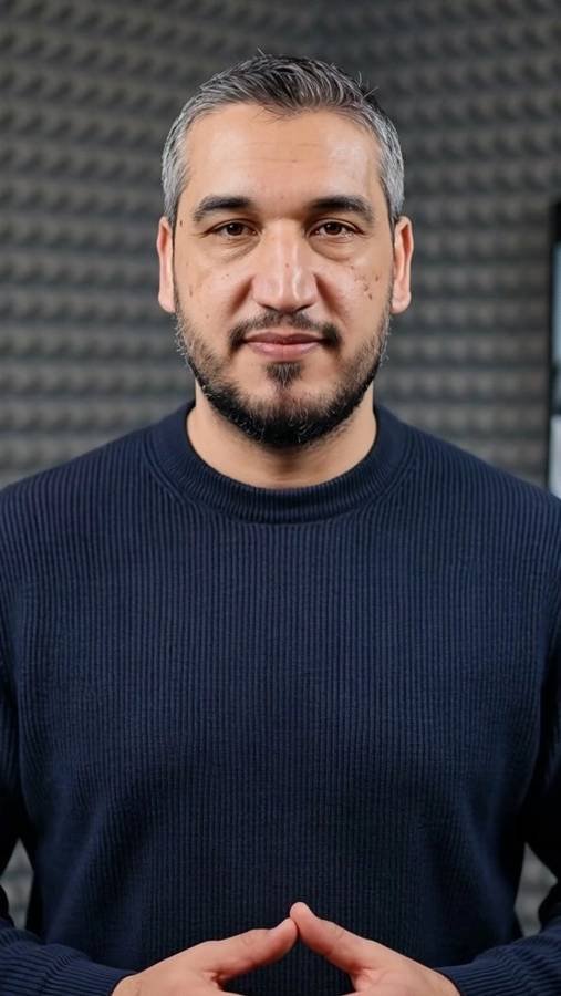
I am Dr. Mohammed Amer Younus Al Shaheen, a Doha-based GIS manager, urban planner, and architect. For more than 15 years I have connected geospatial technology, engineering data, and planning practice so that public infrastructure is easier to plan, deliver, and maintain.
About
I work where geography, engineering, and governance meet: making sure the data behind public infrastructure is accurate, owned, and useful.
My career began in architecture and master planning in Yemen, continued through research and teaching in sustainable design and GIS in Malaysia, and developed through transport and urban planning projects in Qatar and Dubai. Today I work in the public infrastructure sector in Qatar, focusing on enterprise GIS, digital engineering, and asset information.
I hold a PhD in Sustainability, a Master of Urban and Regional Planning (Integrated Coastal Zone Management), and a Bachelor of Architectural Engineering. That mix lets me move comfortably between a planning policy, a geodatabase schema, and a design review, and translate between the people who own each of them.
Technology should solve a defined operational or decision problem.
Good data needs accountable owners, standards, and update routines.
From planning and design to handover, operation, and renewal.
Expertise
Six areas where I have led delivery, set standards, and reviewed the work of consultants and contractors.
Modernization roadmaps, geodatabase design, data re-engineering and migration, and ArcGIS Enterprise environments that scale across departments.
Aligning spatial and model-based information through common data environments, coordinate systems, identifiers, and exchange standards.
Use-case-led digital twin scoping that starts with decisions, then defines the data, integrations, analytics, and 3D needed to support them.
Measurable QA/QC rules, automated validation tools, acceptance criteria, and dashboards that shorten review cycles and improve submissions.
Handover requirements for GIS, CAD, BIM, and survey records, and the link between spatial data and enterprise asset management such as IBM Maximo.
Structure plans, master plans, land-use frameworks, walkability and mobility plans, and architectural design grounded in climate and culture.
How I can help
I welcome conversations with organizations, universities, event organizers, and professionals working on geospatial and urban challenges.
Talks, panels, and workshops on GIS modernization, GIS-BIM integration, digital twins, and data governance for infrastructure.
Joint research, guest lectures, and thesis supervision support in sustainability, urban planning, and spatial analytics.
Practical sessions on geospatial data quality, validation, standards, and digital handover for engineering teams.
Concept architecture, master planning ideas, furniture design, and hand-sketched visual storytelling.
Experience
From architecture studios to national-scale geospatial programs.
Selected work
A selection from my portfolio. Select any image to enlarge it.
Client project imagery is shown for portfolio purposes; rights remain with the respective clients.
Education and credentials
Kuala Lumpur, Malaysia
Integrated Coastal Zone Management. Kuala Lumpur, Malaysia
Sana'a, Yemen. Top of the class of 2007.
Department of Engineering and Technology, Applied and Social Sciences University.
35 contact hours. Doha, 2016 and 2021.
CIDB National BIM Centre (myBIM), Kuala Lumpur, 2016.
Building physics, lifecycle, daylight, and carbon modules, 2016.
Ministry of Municipality and Environment (MME), State of Qatar.
Contact
For speaking invitations, research collaboration, training, or design enquiries, send a message and I will reply as soon as I can.
my.alshaheen@gmail.comDoha, State of Qatar